About
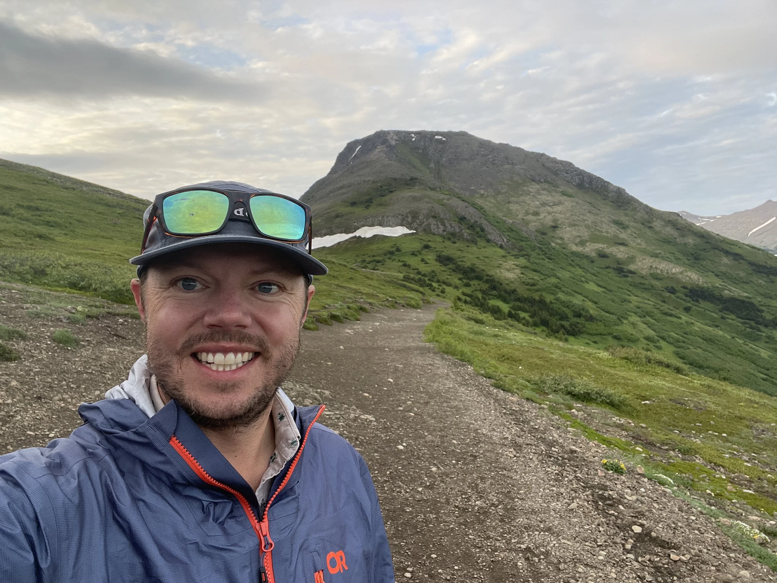
Thanks for being here! This site showcases selected maps from my professional and personal cartographic portfolio. Over the past decade I’ve had the honor of working as a U.S. National Park Service cartographer. My maps have helped millions of national park visitors navigate and interpret the country's most iconic places, history, and people. I’ve been a longstanding member and presenter at the North American Cartographic Information Society (NACIS) annual conference, and the ICA Mountain Cartography Workshop. My work has been featured in the Atlas of Design, National Geographic Atlas of National Parks, ESRI’s Mapping America’s National Parks: Preserving Our Natural and Cultural Treasures, countless park “Unigrid” brochures, and dozens of wayside panels and visitor center exhibits throughout the country. Please reach out if you’d like to connect.
